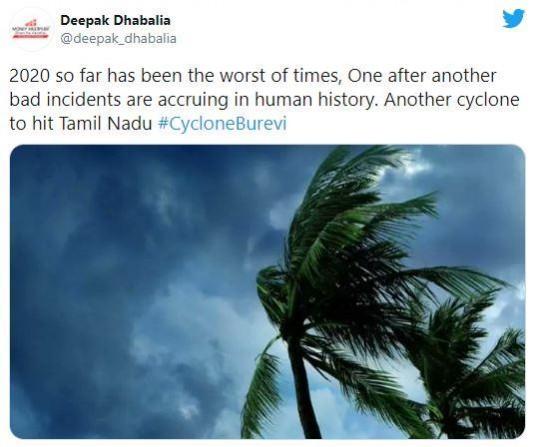
Just days after Nivar hit Tamil Nadu, another cyclonic storm is set to gust into south Tamil Nadu, bringing heavy to very heavy rainfall in the state and Kerala this week.
The cyclonic system is under continuous surveillance and the state governments concerned are being informed regularly, the India Meteorological Department said.

More about Cyclone Burevi
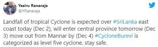
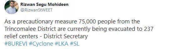
Burevi that has developed over southwest Bay of Bengal is expected to cross the Sri Lankan coast today evening and emerge into the Gulf of Mannar on the 3rd of December. It is expected to cross South Tamil Nadu coast between Kanyakumari and Pamban on the night of December 3 and early morning on December 4, as per the latest data available to the met department.
Following a high-level meeting of ministers and heads of departments, the message has also been disseminated to the fishermen, who had set out for deep-sea fishing, to return to the shore immediately. Neighbouring states have been requested to permit Tamilian fishermen berth at their shore. The meteorology department's advisory to the fishermen urges them not to venture into the sea until further notice.
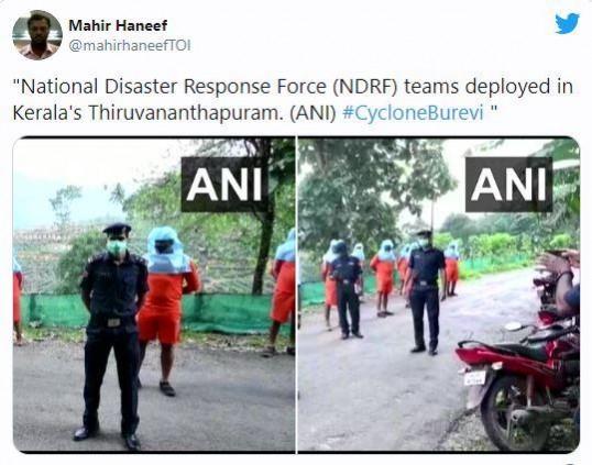
Chief minister Edappadi K Palaniswami on Tuesday urged the people in the southern districts, where there is a warning of heavy rains and strong winds between December 1 and 4, to stay indoors. Nine teams of the National Disaster Response Force (NDRF) are stationed in Kanyakumari, Tirunelveli, Tuticorin and Madurai districts.
People living in landslide-prone areas will be shifted to safer places and relief camps have been set up in accordance with the Covid protocol.
In Kottayam, the district disaster management authority directed the residents of Meenachil and Kanjirappally taluks to exercise caution as heavy rains are likely in the hillside areas in Idukki and Pathanamthitta areas.
Cyclone Burevi could be followed by another

Meanwhile, Skymet Weather has said that the storm is likely to disrupt communication and connectivity along with causing flooding and inundation. Meanwhile, district administrations continue high alert.
Thiruvananthapuram, Kollam, Alappuzha, Punalur, Kochi, Thrissur, Munnar, and Alappuzha are likely to become the soft targets to face the storm fury on December 4, it said.
Skymet Weather also said that Cyclone Burevi is the fifth such system this year to have formed in the Indian seas and third in the Bay of Bengal. Cyclone Burevi could be followed by another cyclone threatening Tamil Nadu on December 7 or later.
High waves in the range of 2.0-3.5 meters are forecast from December 2 afternoon to midnight of December 4 along the coast of Kerala from Vizhinjam to Kasaragod. Surface current speeds are expected to vary between 60 -108 cm/sec. Prevailing rough to very rough sea condition will continue along and off south Tamil Nadu-Kerala coasts from December 2-4.
Thunderstorms, accompanied with lightning are very likely to occur at one or two places in Kerala from December 2-5.

A red alert of extremely heavy rainfall (over 20cm) has been sounded for December 4 for Thiruvananthapuram, Kollam, Pathanamthitta and Alappuzha and an orange alert has been issued for December 3 in Kottayam, Ernakulam and Idukki. A yellow alert has been issued for Thrissur and Palakkad.
An orange alert for 11-20cm (very heavy rainfall) has been sounded for Thiruvananthapuram, Kollam, Pathanamthitta and Idukki districts on Wednesday while five districts, including Alappuzha, Kottayam, Ernakulam, Thrissur and Palakkad will get isolated heavy rains of 7-11cm. Rest of Kerala will also get light rains.