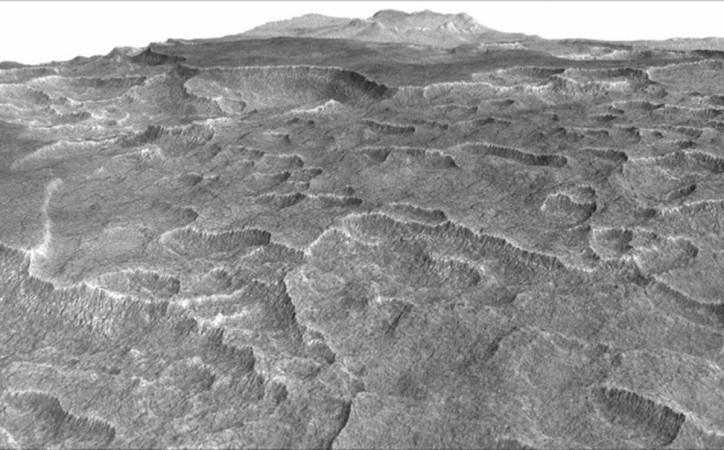
Like Earth, the Red Planet too has polar ice caps, but unlike Earth, it's mostly made up of frozen CO2.
Also Read: NASA's Mars Mission: Here are the latest discoveries and updates
However, the thickness of ice on Mar's surface varies with seasons.
The fact about the carbon dioxide has been known for sometime now. The real mystery, though, revolves around what lies deeper.
NASA's Mars Reconnaissance Orbiter (MRO) had reached the orbit way back in 2006.
A Mars satellite called SHARAD, which stands for "Shallow Radar" has been beaming radio waves from the Red planet's surface for over 10 years. SHARAD is onboard Mars Reconnaissance Orbiter (MRO).
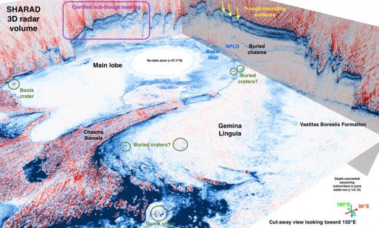
Two thousand orbits have been observed over the poles by SHARAD, which relayed information on Mar's icy surface to NASA. The data helped researchers in building a 3-D view of the ice covering north and south poles.
The 3-D images revealed different structures within the ice-covered Martian surface including a mysterious layering of CO2 in its south polar cap along with a bowl shaped feature, found on both the polar caps and which appears to be buried impact craters, as reported by psi.edu.
The findings will help the NASA scientists to better understand the evolution of Mar's climate.
"We have applied industry-developed techniques in a very novel fashion to a Martian dataset, producing 3-D volumes that are each over 600 times larger than any terrestrial or planetary dataset of this kind," said senior scientist Nathaniel E. Putzig, of the Planetary Science Institute, as quoted by psi.edu.
"It is gratifying to see so plainly in the SHARAD volumes structures that took years of effort to characterise with the single-orbit profiles," he added. "I'm excited about what we will learn from newly revealed features such as the probable impact craters."

The studies will also lead to more findings on the Martian atmosphere, widely believed to be habitable earlier.
"While 3-D seismic and ground penetrating radar have become routine tools in terrestrial geophysical exploration, our 3-D treatment of the SHARAD data is a first in planetary geophysical exploration," said Frederick J. Foss of Freestyle Analytical & Quantitative Services, as reported by psi.edu.
"The 3-D imaged SHARAD volumes significantly enhance the detectability and interpretability of features within the Martian polar ice caps," he added.


