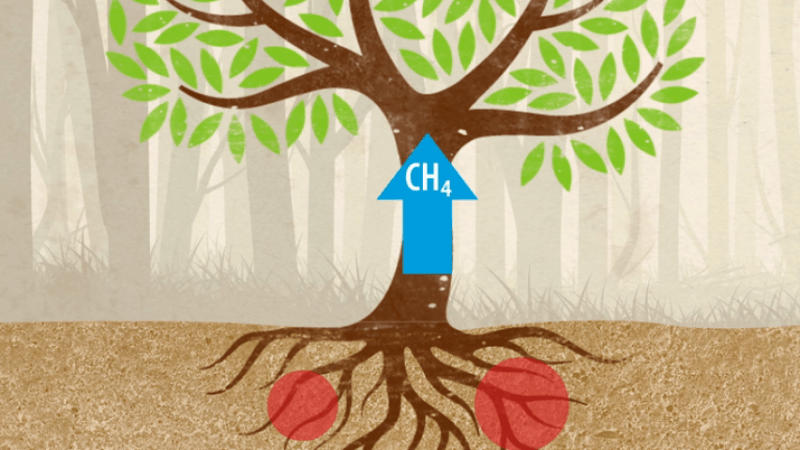
The Environmental Protection Agency (EPA) is underestimating methane emissions from oil and gas production in its annual Inventory of U.S. Greenhouse Gas Emissions and Sinks, according to new research.
The team from the Harvard John A. Paulson School of Engineering and Applied Sciences (SEAS) compared those simulations to satellite observations from 2010-2015. Using a transport model, they were able to trace the path of emissions from the atmosphere back to the ground and identify areas across the US where the observations and simulations didn't match up.
The study, published in the journal Atmospheric Chemistry and Physics, was led by Joannes Maasakkers, a former graduate student at SEAS, and it developed a method to trace and map total emissions from satellite data to their source on the ground.
"This is the first country-wide evaluation of the emissions that the EPA reports to the United Nations Framework Convention on Climate Change (UNFCC)," said Maasakkers, who is currently a scientist at the SRON Netherlands Institute for Space Research.
Mismatch in methane figures
Currently, the EPA only reports total national emissions to the UNFCC. In previous research, Maasakkers and his collaborators, including Daniel Jacob, the Vasco McCoy Family Professor of Atmospheric Chemistry and Environmental Engineering at SEAS, worked with the EPA to map regional emissions of methane from different sources in the US. That level of detail was used to simulate how methane moves through the atmosphere.
In this paper, the researchers compared those simulations to satellite observations from 2010-2015. Using a transport model, they were able to trace the path of emissions from the atmosphere back to the ground and identify areas across the US where the observations and simulations didn't match up.

"When we look at emissions from space, we can only see how total emissions from an area should be scaled up or down, but we don't know the source responsible for those emissions," said Maasakkers. "Because we spent so much time with the EPA figuring out where these different emissions occur, we could use our transport model to go back and figure out what sources are responsible for those under- or over-estimations in the national total."
Discrepancy in oil, gas emissions
The biggest discrepancy was in emissions from oil and natural gas production. The EPA calculates emission based on processes and equipment. For example, the EPA estimates that a gas pump emits a certain amount of methane, multiplies that by how many pumps are operating across the country, and estimates total emissions from gas pumps.
"That method makes it really hard to get estimates for individual facilities because it is hard to take into account every possible source of emission," said Maasakkers. "We know that a relatively small number of facilities make up most of the emissions and so there are clearly facilities that are producing more emissions than we would expect from these overall estimates."
The researchers hope that future work will provide more clarity on exactly where these emissions are coming from and how they are changing. "We plan to continue to monitor U.S. emissions of methane using new high-resolution satellite observations, and to work with the EPA to improve emission inventories," said Jacob.