
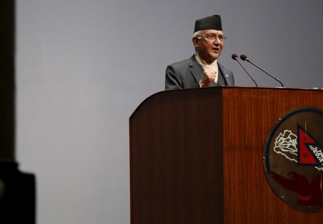
The Nepalese government on Sunday tabled a Constitution amendment bill in Parliament that would alter the Himalayan nation's map. The development has come amidst a border dispute with India, weeks after Defence Minister Rajnath Singh today the road link from Dharchula, Uttarakhand, to the Lipulekh pass. Nepalese Law minister Shivamaya Tumbahangphe presented the bill after the main opposition Nepali congress also endorsed the current legislation.
Just a few days ago, Nepal released a new political and administrative map claiming Indian Territories including Lipulekh, Kalapani, and Limpiyadhura. The Government of India sharply reacted to the new map contending such as "artificial enlargement" of territorial claims will not be acceptable.
More about the bill passed by Nepal
The tabled bill will amend Schedule 3 of the Nepalese Constitution that deals with defining the boundary. Moreover, the bill also seeks to make an alteration in the country's national emblem. As per the rules, lawmakers will be given a period of a minimum of 7 days to propose any changes and another 30 days for public suggestions. But given the ferocity with which the KP Sharma Oli led government has shown in claiming these areas, it is expected to be passed within a week. Once the bill is passed by both houses of parliament, it is sent to President for final notification.
Notably, last week, as requested by Prime Minister KP Sharma Oli the bill was removed from the business schedule of the parliament. Further, the discussion was also delayed as the Nepali Congress had sought more time in its high-level body. Other parties including Samajbadi Janata Party Nepal and the Rashtriya Janata Party Nepal have also asked to incorporate their demands in the bill.

What is the border issue between India and Nepal?
India and Nepal have boundary conflicts across two distinct sections of their 1,800-km porous frontier including Kalapani, Limpiyadhura and Lipulekh. Given the strategic importance, the Kalapani region is a sore point. As per, Nepalese claims, Kalapani falls in Sudurpashchim Pradesh, its Darchula city. The reason behind this sudden revival of border dispute inauguration of 80-kilometre-long blacktop road in Uttarakhand.

![Bengaluru rains: Authorities heave sigh of relief as heavy rains lash Karnataka [Pics]](https://data1.ibtimes.co.in/en/full/834322/bengaluru-rains-authorities-heave-sigh-relief-heavy-rains-lash-karnataka-pics.jpg?w=220&h=135&l=50&t=40 "Bengaluru rains: Authorities heave sigh of relief as heavy rains lash Karnataka [Pics]")


![Bengaluru rains: Authorities heave sigh of relief as heavy rains lash Karnataka [Pics]](https://data1.ibtimes.co.in/en/full/834322/bengaluru-rains-authorities-heave-sigh-relief-heavy-rains-lash-karnataka-pics.jpg?w=220&h=138)


![Bengaluru rains: Authorities heave sigh of relief as heavy rains lash Karnataka [Pics]](https://data1.ibtimes.co.in/en/full/834322/bengaluru-rains-authorities-heave-sigh-relief-heavy-rains-lash-karnataka-pics.jpg?w=220&h=135)

