Indian Army's surgical strikes against terror launch pads across the Line of Control (LoC) were aided by the Cartosat series of satellites from premiere space agency Indian Space Research Organisation (ISRO).
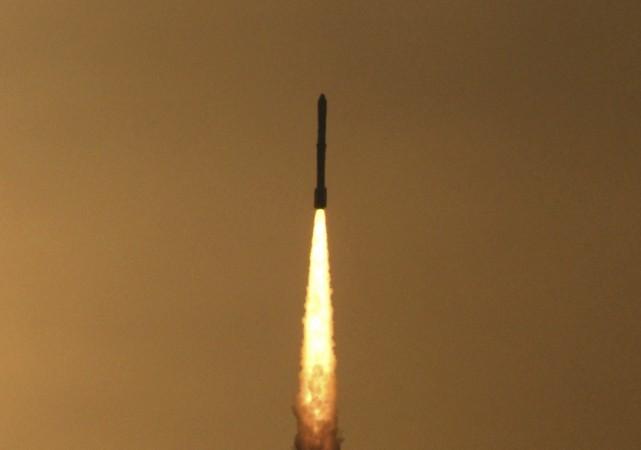
ISRO had launched Cartosat-2C satellite in June, a dual-use satellite which can be used for diverse missions like disaster monitoring and tracking of enemy missile sites.
The Cartosat series of satellites are referred to as the "eye in the sky" and can provide high-resolution images.
Though ISRO officials remained mum on the usage of satellites for strategic purposes, they did agree that satellite images are sourced by various agencies including the armed forces, IANS reported.
"We've been providing images to the armed forces, the army in particular," a source from ISRO was quoted by the Times of India. According to reports, the Indian armed forces have six satellites at their disposal.
Satellites like Cartosat-2C are with only a select group of countries - United States, China and Israel.
On September 29, Indian Army conducted pre-emptive surgical strikes across the LoC on terror infrastructure and caused heavy casualty to militants who were waiting to conduct terror attacks in India.