In one of the biggest aerial surveys, over 500 high resolution drones would be deployed soon to map nearly 6 lakh villages in the country to validate the residential properties of more than 83 crore Indians.
The survey, once completed, would enable a large population of India to validate their rural residential property and use it as a financial asset.
A big force of drone pilots on the ground to measure the rural land in India stretching from Kanyakumari to Kashmir and Shillong to Somnath, would be deployed by the Survey of India (SOI).
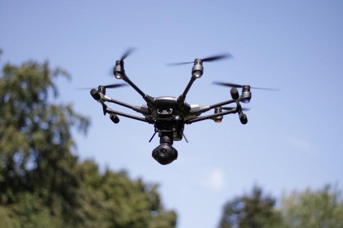
"A hi-tech drone takes around 15 minutes to map an average Indian village. We expect that by March 2024, the 'drone flying' in the country would be complete," said Sunil Kumar, the Union Secretary for the Panchayati Raj Ministry, the nodal agency for implementing the massive land survey scheme.
Almost all Indian states, except Telangana, have consented to map the entire rural properties in their respective jurisdiction.
The mega scheme, promoted by the Prime Minister Narendra Modi, enables people in rural areas to unlock their rural assets.
"Once the survey would be complete, every owner would be given a property card. This card will enable countrymen to use their residential property as a financial asset... They can further be entitled to seek loans from banks," Sunil Kumar, also an IAS officer of the UP Cadre, noted.
A pilot project of the drone survey has been hitherto successful as more than 40,000 villages have been covered.
The country now gears for the full and final survey to map the rural assets of people.
Sources said that in Uttar Pradesh, hundreds of people have got their property cards during the pilot project. In some villages, farmers who got the validation of their houses also sought loans from the banks.
Last year, Modi had launched the pilot project for the drone survey which then covered only six states; Uttar Pradesh, Uttarakhand, Haryana, Madhya Pradesh, Karnataka and Maharashtra.
Later, Rajasthan and Andhra Pradesh also joined hands with the Centre and consented to go for the land survey, being conducted by Survey of India.
Sources said that during one of the meeting of the group of Ministers in late 2019, the idea of land survey of rural properties was picked up by Modi.