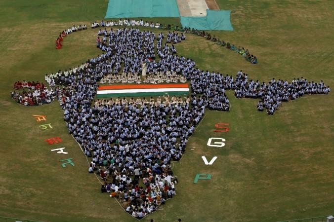
The Geospatial Information Regulation Bill 2016, if passed, could reportedly land those who wrongly depict the map of India in jail and levy a fine up to Rs. 100 crore on them. The draft bill would also make it mandatory to take permission from the government before acquiring, disseminating, publishing or distributing geospatial information of India.
The draft bill comes in the wake of Twitter representing the map of India incorrectly, showing Jammu in Pakistan and Kashmir in China. The microblogging site made corrections after the government protested against it, the Press Trust of India reported.
"No person shall depict, disseminate, publish or distribute any wrong or false topographic information of India including international boundaries through Internet platforms or online services or in any electronic or physical form. Whoever acquired any geospatial information of India in contravention of the law shall be punished with a fine ranging from Rs 1 crore to Rs 100 crore and or imprisonment for a period up to seven years," according to the draft bill.
Geospatial information could be topographical information, details of a location, or features at a particular location, like the information Google provides in its maps. It can be acquired through satellites, planes, aircraft, and other aerial medium.
It also proposes setting up of an authority that would monitor misuse of geospatial information and give out licenses for fees.
If the bill is passed, Google would need to acquire a license to operate Google maps and Google Earth in India.


