
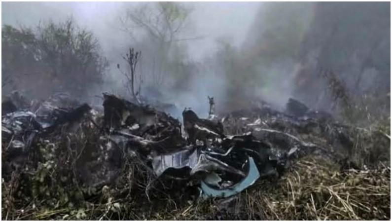
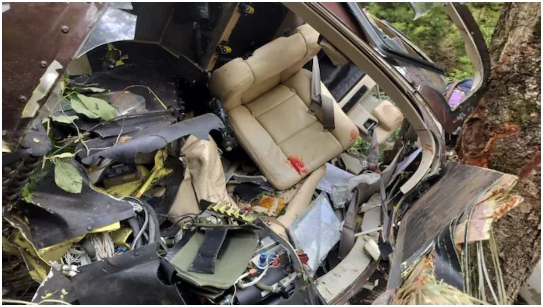
The helicopter crash near Joshimath in Uttarakhand's Chamoli district, which killed six people on Friday, October 30, has once again raised concerns over the safety of helicopter services operating on pilgrimage routes in the Himalayan region.
The accident involving a helicopter operated by Trans Bharat Aviation occurred while it was flying from Badrinath to Dehradun. The aircraft crashed into a hillside near Chai village after losing communication while passing through the Joshimath valley.
While the exact cause of the crash is yet to be established, the incident has brought attention to the challenges of operating helicopters in Uttarakhand's mountainous terrain, where narrow valleys, rapidly changing weather, cloud cover and limited visibility can make flying particularly difficult.
According to an analysis by the Aircraft Accident Investigation Bureau (AAIB), the Char Dham sector recorded eight helicopter accidents and one serious incident between 2015 and 2025.
Why are helicopter flights in Uttarakhand risky?
Uttarakhand's Char Dham pilgrimage circuit covers four important Himalayan shrines – Kedarnath, Badrinath, Gangotri and Yamunotri. Helicopter services are widely used by pilgrims, particularly those who want to reduce travel time or face difficulties undertaking long journeys through mountainous terrain.
However, flying in the region comes with several operational challenges.
1. Narrow valleys and difficult terrain
The helicopter routes pass through deep, narrow valleys surrounded by steep mountains. Unlike flights over flat terrain, pilots have limited room to manoeuvre when navigating these routes.
Sudden changes in wind direction, turbulence and unexpected obstacles can further complicate flying conditions. In an emergency, the surrounding mountains may also limit the options available to pilots.
2. Sudden weather changes and cloud cover
Weather conditions in the Himalayan region can change rapidly. Clear skies can give way to thick clouds, rain, mist and poor visibility within a short period.
The Directorate General of Civil Aviation (DGCA) introduced operational guidelines in 2023, keeping in mind the rapidly changing weather conditions in hilly regions, including sudden cloud formation and precipitation.
Pilots operating under visual flight rules must maintain adequate visibility to navigate safely. Sudden cloud cover can make it difficult to identify the route, surrounding terrain and landing locations.
3. Limited weather monitoring facilities
The availability of accurate, real-time weather information is another major challenge.
An AAIB investigation into the June 15, 2025, Kedarnath helicopter crash found gaps in weather monitoring arrangements in the valley. The report noted that the available weather equipment measured parameters such as wind, visibility and temperature but did not provide information about cloud cover.
Investigators also highlighted that weather readings were not automatically stored and were instead shared through screenshots on a WhatsApp group of operators.
The absence of comprehensive, localised weather information can make it difficult for pilots to assess conditions along an entire mountain route.
4. Air traffic management challenges
Helicopters operating in narrow valleys need to maintain safe distances from other aircraft. However, some remote pilgrimage routes have limited conventional air traffic control infrastructure.
On the Kedarnath shuttle route, pilots traditionally communicated their positions through radio calls at designated points to avoid conflicts with other helicopters.
The DGCA's guidelines prescribe specific routes, flying altitudes and limits on the number of helicopters operating in the valley at a given time.
5. Temperature, humidity and helicopter performance
High temperatures and humidity can also affect helicopter performance.
According to the DGCA, an increase in ambient temperature and humidity reduces the power available to a helicopter, thereby affecting its load-carrying capacity.
Wind conditions are another important factor. Pilots are advised to abandon an approach and return to base if tailwinds or crosswinds exceed prescribed limits.
What are the DGCA rules for Char Dham helicopter flights?
The DGCA issued operational guidelines in February 2023 for helicopter operations during pilgrimage seasons. These rules cover flight routes, operating altitudes, weather conditions and coordination between operators.
For the Kedarnath shuttle route, helicopters are required to follow designated paths and prescribed heights. They must climb to 8,500 feet by the valley's entry and exit at 9,000 feet on the return journey.
The guidelines also limit the number of helicopters operating inside the valley to four at a time, with two flying uphill and two downhill.
The Uttarakhand Civil Aviation Development Authority (UCADA) allots flying slots to operators, while the Airports Authority of India (AAI) provides air traffic control services and the India Meteorological Department (IMD) supplies weather information.
Following a series of accidents in 2025, the DGCA introduced additional safety measures, including safety audits and revised guidelines for operations in adverse weather conditions.