
Internet giants, Google and Bing Maps will now be able to provide its customers with more detailed maps with higher quality satellite images, thanks to the U.S. government that has lifted the restriction on usage of high quality images from satellites.
Previously, companies were not allowed to use such images and could use only the ones that were smaller than 50cms, reported BBC.
DigitalGlobe, imaging company that sells high resolution images said that it received a notice from the U.S. Department of Commerce, which cleared its application. The company will now be able to sell highest-quality and industry-leading commercial satellite imagery. The company had previously put an application for the lifting of such restrictions.
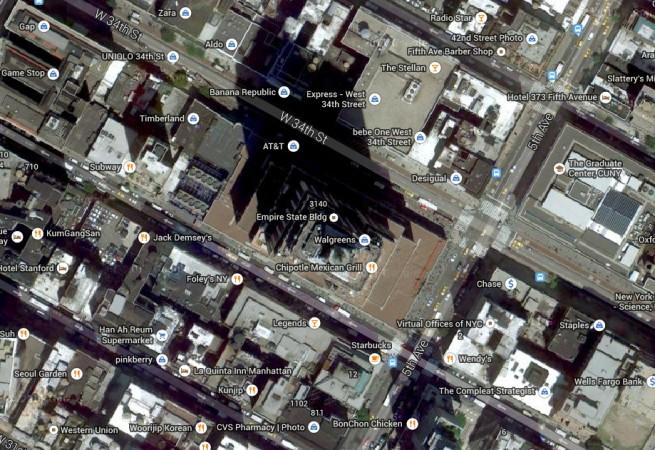
Currently the company collects images sharper than 0.50m and will soon be launching a new satellite WorldView-3 on 13 August, 2014, which will provide higher resolution at 0.31m. World View-3 will reportedly be able to show features such as manholes and mailboxes. Newer satellites, like World View-3 will be able to take advantage of this ruling.
"We are very pleased and appreciative that the U.S. Department of Commerce under the leadership of Secretary Penny Pritzker, with support from the U.S. Departments of Defense and State and the Intelligence Community, has made this forward-leaning change to our nation's policy that will fuel innovation, create new high-tech jobs, and advance the nation's commanding lead in this strategically important industry," Jeffrey R. Tarr, CEO of DigitalGlobe said in a press release.
He also added that this would be beneficial to its customers and it will allow his company to make available the best imagery for commercial use. These images will be able to help analysts in the field of agriculture and disaster relief.
Recently, Google bought Skybox Imaging, a satellite firm for $500m. Google currently has one satellite in the orbit
SkySat-1 is the current Google satellite that is in orbit, but the company wants to launch a total of 24 satellites. These satellites will also be able to provide internet access to some of the remote parts of the world.
However there are many issues that high resolution maps will have to deal with – first one being breach of privacy, an issue that worries many people and another one is national security considerations.
Presently, images of the sensitive locations around the world are either blurred or obscured by these mapping websites.


