In a first of its kind studies to count whales using satellite photography, researchers found an approach that could be used in future surveys of whale species and marine animal populations.
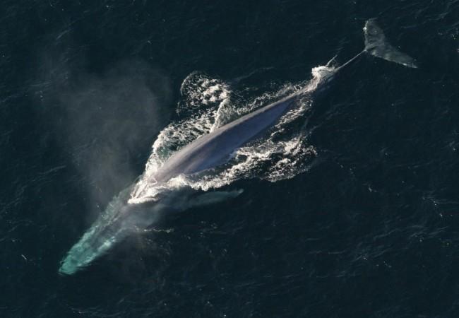
The researchers chose one of the largest southern right whale populations, which breeds off the coast of Argentina, for the study. The population was chosen because of its vast size and proclivity to bask near the surface in big aggregations along sheltered coastal waters during the breeding season.
This population was utilized to test the feasibility of using very high-resolution satellite photography to locate and count baleen whales. The imagery was from the most accurate satellite, WorldView2, and spanned 40 square miles, allowing it to penetrate deeper into the water column than photos from other satellites. The authors compared the findings of four distinct automatic detection systems to those of manual whale detection.
"Whales populations have always been difficult to assess, traditional means of counting them are localized, expensive and lack accuracy. The ability to count whales automatically, over large areas in a cost effective way will be of great benefit to conservation efforts for this and potentially other whale species," said Dr. Peter Fretwell.
Scientists discovered 55 possible whales and 23 additional structures that could be whales on or near the surface. Furthermore, the authors discovered 13 objects that could only be seen at specific wavelengths of light. At specific wavelengths, automatic detection of whale-like creatures was likewise most accurate.

The authors conclude that these methods are more efficient than standard ways of assessing marine animal populations and might be used to compute population abundance. This is one of the first effective studies to count whales using satellite photography, an approach that could be used in future surveys of other whale species and marine animal populations.