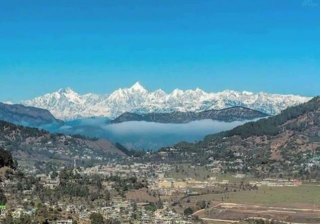
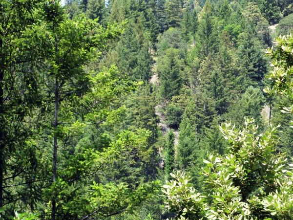
Forest cover in the 140 hill districts of the country has shown a decrease of 902 sq km (0.32 per cent) with all eight states of the northeast region also showing a decline, as per the India State of Forest Report 2021 (ISFR 2021) released on Thursday.
As per the current assessment, the total forest cover in the hill districts is 2,83,104 sq km, which is 40.17 per cent of the total geographical area of these districts. Hill districts are those which have 2/3rd areas as hills.
Arunachal Pradesh, which has 16 hill districts, has shown a loss of 257 sq km forest cover compared to the 2019 assessment, Assam's three hill district (- 107 sq km), Manipur's nine hill districts (- 249 sq kms), Mizoram's eight hill districts (- 186 sq km), Meghalaya's seven hill districts (- 73 km), Nagaland's 11 districts (- 235 sq km), Sikkim's four districts (- 1 sq km), and Tripura's four districts (- 4 sq km).
In the case of the other districts in the Himalayan states and UTs, not all have shown a decline. West Bengal's sole district has shown a slight decline (- 18 sq km), Jammu & Kashmir's 22 districts (29 sq km), Ladakh's two districts (18 sq km), Uttarakhand's 13 hill districts (2 sq km), and Himachal Pradesh's 12 districts (9 sq km).

Total forest cover in the northeastern region is 1,69,521 sq km, which is 64.66 per cent of its area. The current assessment shows a decrease of forest cover to the extent of 1,020 sq km (0.60 per cent) in the region.
Incidentally, Assam, as a whole, has shown a smaller negative change (- 15 sq km) compared to just three of its hill districts (- 107 sq km).
The ISFR2021 divides forests into distinct categories according to the density of canopy: very dense forest (VDF), moderately dense forest (MDF), and open forest (Open). India is blessed with a multitude of forests that vary with altitude and the ISFR2021 has also brought out the forest cover data according to altitude with respect to the total geographical area of the country at that altitude.
Altitude-wise decline
At 0-500 m altitude, of the 23,29,321 sq km, as much as 39,456 sq km is VDF, 1,51,917 sq km is MDF and 1,90,571 sq km is open, totalling to 3,81,944 sq km of forest cover.
Similarly, at 500-1,000 m altitude, of the total 541,747 sq km, as much as 25,956 sq km is VDF, 94,259 sq km is MDF and 77,747 sq km is open, making it 1,97,962 sq km of total forest cover.
Of the 1,17,835 sq km between 1,000-2,000 m altitude, the forest cover is 15,743 sq km is VDF, 34,599 sq km is MDF and 75,261 sq km open to make the total 75,261 sq km.

So is with the 2,000-3,000m altitude, of the 56,891 sq km, the forest cover is divided as 15,241 sq km is VDF, 18,500 sq km MDF, and 7,162 sq km open to making 40,903 sq km total forest cover.
And for, 3,000-4,000 m altitude, of the total 59,298 sq km, the forest cover is 3,356 sq km is VDF), 7,458 sq km MDF and 6,304 sq km open to total 17,138 sq km forest cover.
Last, for altitude above 4,000 m, of the total 1,82,377 sq km, an area of 27 sq km is VDF, 157 is MDF, and 417 is open, to a total 601 sq kms of forest cover, the ISFR 2021 data showed.


