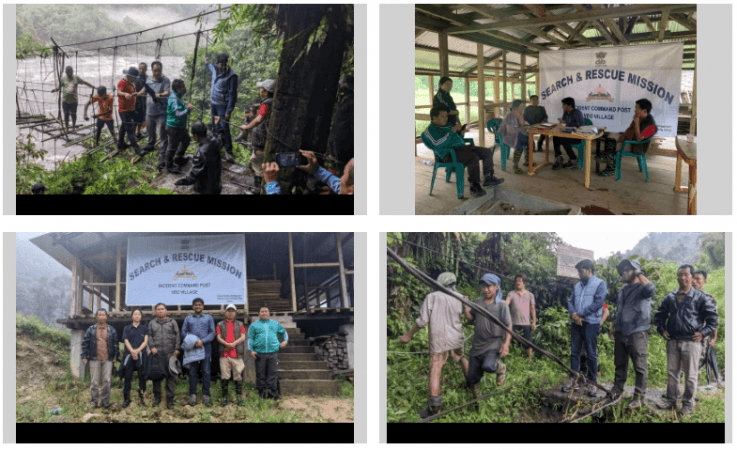
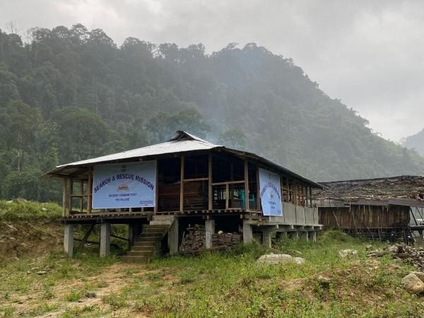
Satellite imagery is being used to trace Tapi Mra, the first mountaineer from Arunachal Pradesh to conquer Mount Everest, and his associate Niku Dao, who had gone to climb the state's highest peak and have remained untraceable for the past 20 days on Monday.
East Kameng district's Deputy Commissioner Pravimal Abhishek Polumatla on Monday said that they are trying to study the satellite imagery of the National Remote Sensing Centre and Shillong-based North East Space Applications Centre, but yet to get any clue as to the location of these mountaineers.
The district administration is continuously passing on details to the family members of Mra and Dao.

Polumatla said that Mra has taken up an expedition to Mt. Kyarisatam (Mt. Chiumo) which is located at the India-Tibet border at an altitude of 6,890 metres. However, Mra and Dao have been untraceable since August 17 as reported by the remaining six members of the expedition who reached Seppa from their expedition base camp on August 29 evening.
He said that persistent rain for the past few days has led to swelling of all rivers - including Kameng, Kania and Wapriyang Bung. Four Army helicopters remained on standby to undertake an aerial search, once the weather clears, to trace the two missing mountaineers.

The state government has sought help from Indian Army's Tezpur-headquartered Gajraj Corps in the search and rescue mission.
Mra, 37, had climbed the highest peak of the world on May 21, 2009.


