A powerful shallow undersea-quake jolted eastern parts of Indonesia on Wednesday, but is not likely to trigger a tsunami, authorities said.
The country's Meteorology and Geophysics Agency reported that the quake was measured at 6.2 on the Richter Scale with the epicentre at a depth at 10 km under the seabed, but the US Geological Survey reported on its website that it was of 6.5 magnitude and the epicentre was 20.5 km under seabed.
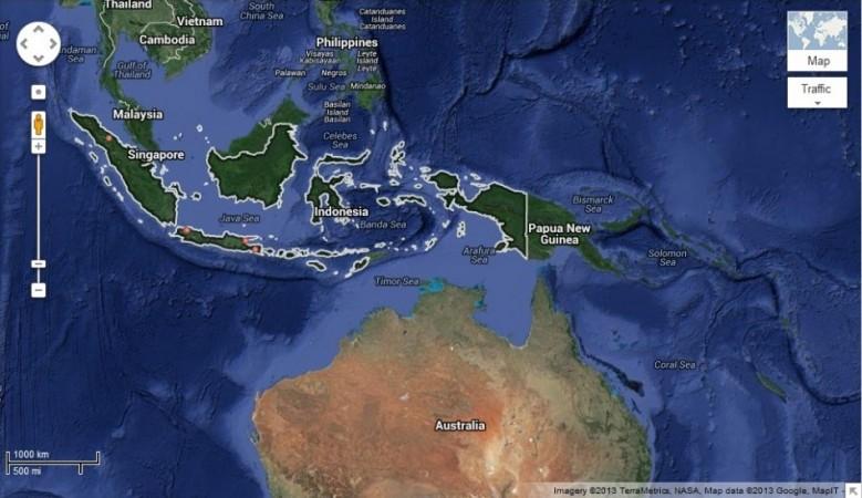
The quake struck at 9.46 a.m. with epicentre at Bolaang Mongondow of North Sulawesi province, an official of the agency told Xinhua.
Indonesia is prone to earthquakes as it lies on the vulnerable "Pacific Ring of Fire".