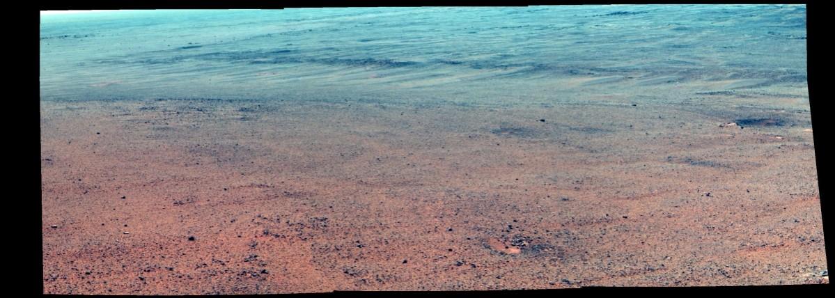
NASA's Mars rover Opportunity is examining rocks at the edge of Endeavour Crater to find out evidence of an ancient lake. The rover has found rocks on the edge which the NASA scientists suspect was either transported by a flood or eroded in place by wind.
Hactivist group claims NASA could soon announce the discovery of intelligent alien life
The rocks were seen just outside the crater rim's above "Perseverance Valley," which is carved into the inner slope of the rim.
Scientists have now planned to send Opportunity down Perseverance Valley after completing a "walkabout" survey of the area.
"The walkabout is designed to look at what's just above Perseverance Valley," said Opportunity Deputy Principal Investigator Ray Arvidson of Washington University in St. Louis.
"We see a pattern of striations running east-west outside the crest of the rim," he added.
While a portion of the crest at the top of Perseverance Valley has a broad notch, just west of that are elongated patches of rocks lining the sides of a slightly depressed, east-west swath of ground, which scientists believe was a drainage channel billions of years ago.
"We want to determine whether these are in-place rocks or transported rocks. One possibility is that this site was the end of a catchment where a lake was perched against the outside of the crater rim. A flood might have brought in the rocks, breached the rim and overflowed into the crater, carving the valley down the inner side of the rim," Arvidson said.
"Another possibility is that the area was fractured by the impact that created Endeavour Crater, then rock dykes filled the fractures, and we're seeing effects of wind erosion on those filled fractures," he added.
The examination of the rocks on the ridge will also help NASA scientists to determine the history of the site.
Meanwhile, according to a report by NASA, scientists are also analysing stereo images of Perseverance Valley, taken from the rim, to plot Opportunity's route. The valley extends down from the crest into the crater at a slope of about 15 to 17 degrees for a distance of about two football fields.


