Apple may be the supreme leader in many things, but its navigation software in iPhones has been nothing less than a disaster. Back in 2012 when the mapping service was launched by Apple, the company's CEO Tim Cook had to even apologise for a series of glitches in the software, which marked a grocery store as hospital and had an incorrect airport address. All that changes soon.
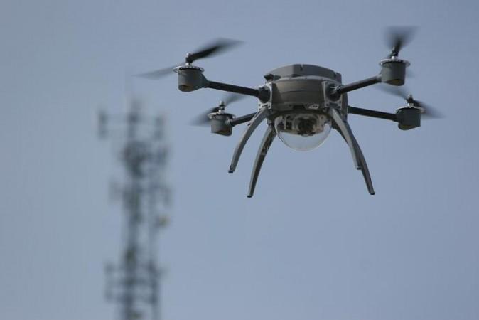
The tables are going to turn very soon. If the latest Bloomberg report is right, Apple Maps might finally be catching up to Google Maps. According to the report, the Cupertino-based tech titan will use drones to examine street signs and monitor areas under construction for a much superior mapping experience than its existing technology.
Apple has reportedly set up a drone team led by a person who previously worked for Amazon's Prime Air division, which aimed at delivering packages using unmanned aircraft. The company has also secured an approval from the Federal Aviation Administration (FAA) to "operate an unmanned aircraft system to conduct data collection, photography, and videography," according to the documents obtained by Bloomberg.
The report also added that Apple will introduce new features to its Maps application that will offer views inside buildings and tweak car navigation. Apple had acquired two startups with interior mapping projects Indoor.io and WiFiSlam which finally seems to be put in better use. This will help iPhone users navigate through airports and other busy locations such as museums and exhibitions.
Currently, Google Maps has a lead over Apple Maps for accuracy, and most iPhone users rely on Google or third-party startups for navigation purposes. The upcoming update will hopefully change that, so Apple can level up with its software rival Google at last.